After making my way last week through Montana and the panhandle of Idaho, it felt good to finally reach the state of Washington. There were still a few hours of driving to go, including the mountain pass at Snoqualmie Pass at 3022 feet (921 meters), but I felt like I was on the home stretch of my cross-country drive.
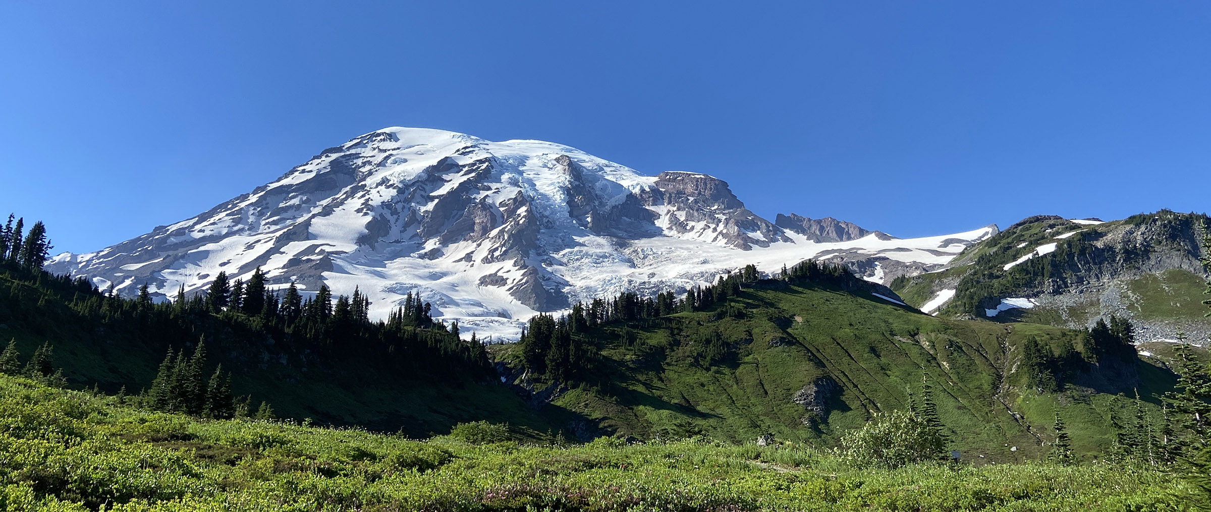
The views were breathtaking as I made my way through the mountains and occasionally I would catch a glimpse of the glacier-capped peak of Mount Rainier. Even through there was a lot of haze, I was able to get a decent shot of the mountain from one of the rest areas along the highway.
With an officially recognized summit elevation of 14,410 ft (4392 meters), Mount Rainier, also known as Tahoma, is the highest mountain in the state of Washington. When conditions are good, the mountain is visible from almost the entire the Seattle/Tacoma area.

© Michael Q. Powell. All rights reserved.